Formation initiale > Master 2
Master 2 in Geographic Information : Spatial Analysis and Remote Sensing
The IGAST Master 2 program is co-accredited by the French Institute of Electronics and Computer Science Gaspard-Monge of the Gustave Eiffel University and Géodata Paris. It provides training in spatial remote sensing and geographic data analysis.
Niveau admission master 1
Diplôme délivré master 2
Durée 1 year
Lieu Gustave Eiffel University, Géodata Paris
Frais de scolarité see details in “Tuition Fees” tab
Elles / Ils ont fait Géodata Paris

Je suis Quentin, étudiant en M2 IGAST à Géodata Paris. Je sors d’une licence de Géographie et Aménagement que j’ai fait la Sorbonne Université Paris 4. J’ai découvert la géomatique en 2ème année de licence et je suis directement venu à Géodata Paris car c’est pour moi le master qui remplit le plus mes critères et envies.
Comment tu as intégré Géodata Paris ?
J’ai postulé sur Mon Master, la plateforme, pour rentrer dans le M1 Géomatique, j’ai dû déposer comme tout le monde, un CV et une lettre de motivation.
Tu as appris quoi en master ?
En M2 IGAST, on va beaucoup plus développer ce qu’on fait déjà en M1, mais vraiment orienté sur la télédétection, l’analyse spatiale, on fait aussi un peu d’IA et du Deep Learning et on va faire de la gestion de bases de données temporelles, et il y a un peu de carto aussi. Après 2 ans, j’ai développé des compétences dans les SIG, l’analyse spatiale, la télédétection, un peu tous les domaines que couvre la géomatique. J’ai pu également développer des compétences en codages, surtout en Python, j’ai pu aussi gérer des bases de données en SQL.
Tu travailles sur quel projet en ce moment ?
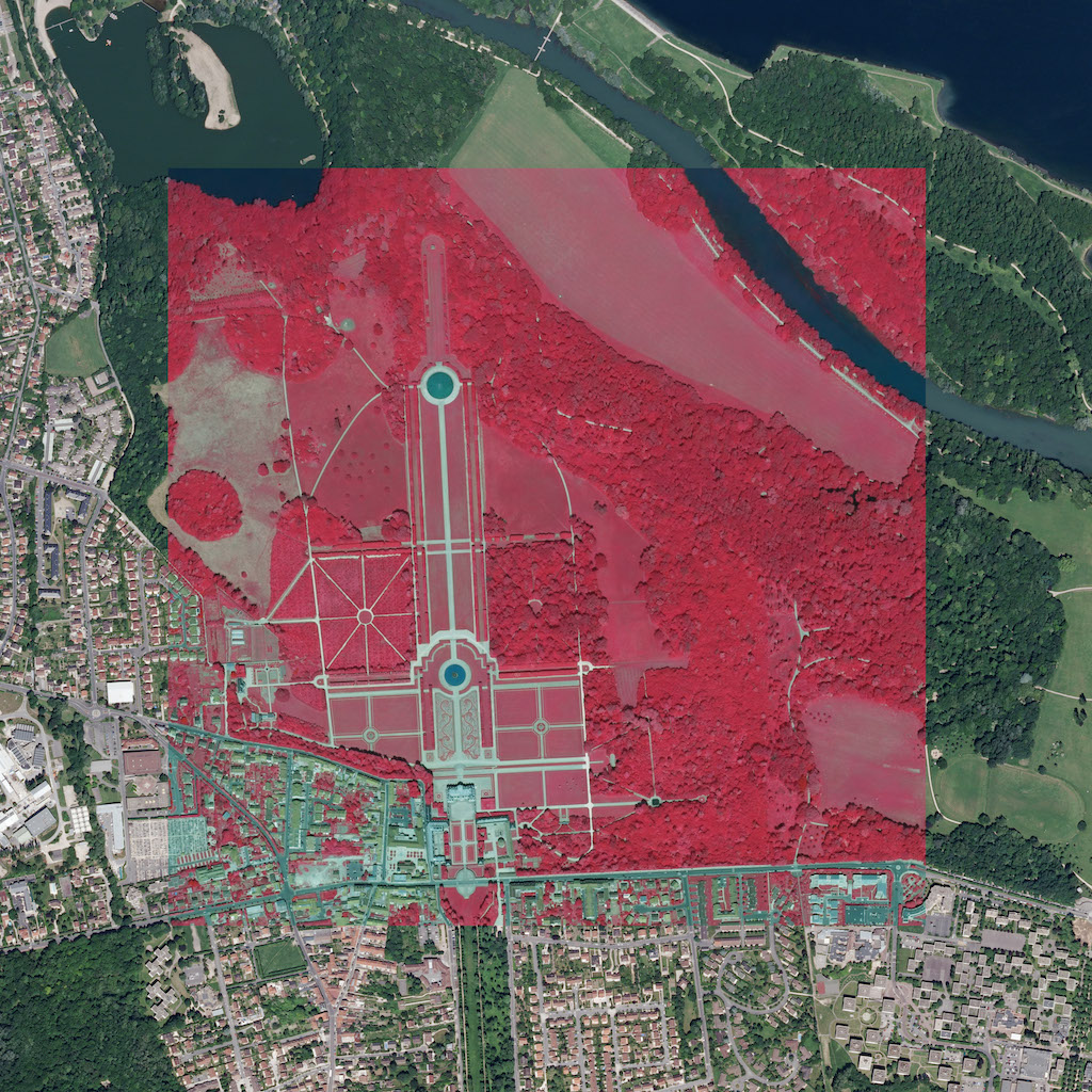
En télédétection, on travaille actuellement sur la détection de trous de bombes au Cambodge, laissés par des bombardements de la guerre du Vietnam. Pour ça, on utilise un gigantesque modèle numérique de terrain (MNT) construit à partir d’images satellites. Et à l’aide d’une chaîne de traitement développé en Python, on analyse ces données pour identifier précisément l’emplacement des trous. Le but, c’est aussi de les distinguer des autres formes du paysage, comme des routes en terre ou de les repérer dans des zones forestières. Donc, grâce aux données LiDAR et aux nuages de points qu’elles fournissent, on est capable aujourd’hui de localiser ces anciens cratères aves plus de précision. Ces informations peuvent ensuite aider à identifier les zones où il serait risqué d’implanter de nouvelles habitations ou des écoles au Cambodge.
C’est quoi ton projet pro ?
Quand je suis venu ici à Géodata Paris, j’avais pour projet de travailler dans une collectivité territoriale parce que c’est vraiment pour moi ce qui a le plus de sens, on travaille pour les gens au quotidien pour les aider dans le futur. Aujourd’hui c’est plus forcément mon attrait numéro 1 mais j’ai toujours cette envie de travailler dans la vulgarisation de la géomatique, la cartographie c’est un sujet qu’on voit partout mais on ne comprend pas forcément ce que c’est et j’ai vraiment envie de pouvoir donner ça au plus de monde possible.
Tu as fait un stage en M1 ?
L’année dernière en M1, j’ai réalisé un stage au sein d’un établissement public d’aménagement. Pendant mon stage, j’ai réalisé un gros script Python qui communiquait avec la base de données de l’entreprise, dans le but d’automatiser la production de cartographie. Ils avaient plusieurs centaines de cartographies à faire chaque semaine, ce qui prenait un temps fou à faire à la main avec des atlas cartographiques qui prenaient plusieurs heures à réaliser sur un seul PC et qui du coup condamnait un PC, même une personne qui devait travailler dessus. Au final, maintenant le script se met en place toutes les semaines tout seul, la nuit quand il n’y a personne, et permet d’avoir des cartographies qui sont à jour chaque semaine, avec des données les plus récentes qui sont disponibles.
En quoi ce master se distingue des autres ?
Je pense que ce master se distingue des autres masters de géomatique pour plusieurs raisons. D’abord, il a la particularité d’être proposé au sein d’une école d’ingénieur et d’être lié au cycle ingénieur. Par exemple, notre 2ème année de master se déroule avec les 3ème années ingénieur, on travaille régulièrement avec eux, ce qui nous donne l’impression de suivre le même parcours, même si on n’aura pas le même diplôme à la fin. Et ce qui est bien avec ce master, c’est qu’il est très généraliste, la formation nous donne des bases solides dans de nombreux domaines de la géomatique. On n’est pas spécialisé dans un seul sujet, mais on est justement capables de nous adapter rapidement à différents types de projets : travailler sur les risques, les inondations, la télédétection ou d’autres problématiques. Cette polyvalence est, pour moi, un des aspects les plus importants et intéressants de la formation.
Tu dirais quoi à quelqu’un qui hésite à rejoindre Géodata Paris ?
Les locaux sont cools, les machines sont cools, on touche à tout, et puis surtout, on est toujours à la pointe de la technologie, c’est-à-dire que dès que quelque chose sort, on peut l’utiliser tout de suite. Et comme on est toujours au contact de gens qui travaillent à l’IGN ou qui parlent la même langue que nous, on sait de quoi on parle quand on échange.
Étudiant en M2 IGAST